Follow


Follow us with Map Share on Delorme In-Reach:
https://share.delorme.com/SummerPlace

Sunday, August 11, 2013

Pinkerton Islands

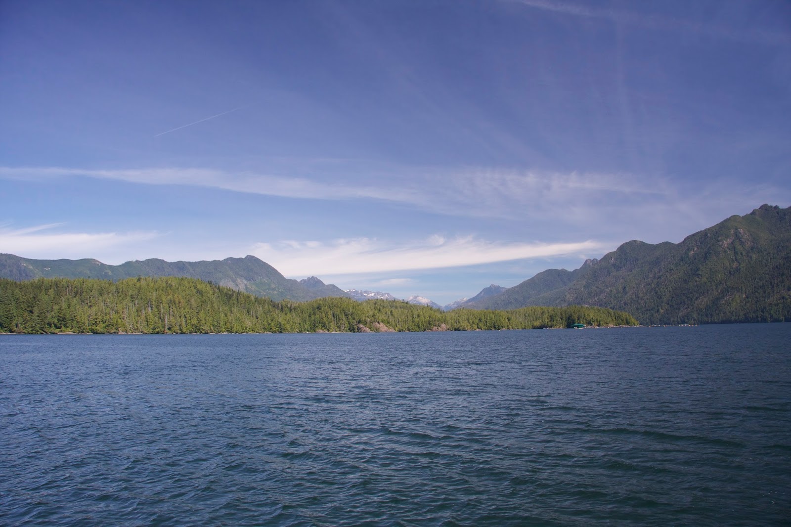
Interesting night. People howling until one in the morning. Reminded be of the time Brad and his dad pulled a drunk out of the water in the San Juans. Thankfully we didn't have to fish anyone out of the water. Booze and boating don't mix. 11:30, anchor up and picking our way out of the reefs surrounding us. We don't have far to go, but want to make some water, so slow going all the way up Peacock Channel. We're heading to the Pinkerton Islands, northeast of the Broken Islands Group. We anchor at 13:30 in the passage northwest of Williams Island. We don our rain gear and take the dinghy out for a ride. The only disturbance on the water is rain. The sun finally makes an appearance around 17:00. Looks like we won't have any neighbors tonight. There are some homes nearby, but not within our sight as there are so many nooks and islets and passages. Today's stats: 0.05 inches of rain at this writing (probably all while we are outside), temp 58, engine hours 1.9, nautical miles 5, total trip miles 941.7, GPS coordinates 48.57.555N / 125.16.710W.

----------
radio email processed by SailMail
for information see: http://www.sailmail.com


Turtle Bay, again!

Waited all day for the sun to shine. I napped and Brad read. Brad vacuumed and cleaned watermaker filters. I cleaned the shower drain filter and cleaned and waxed a little more of the hull. At 17:00 still overcast but calm, we decided to take the dinghy around Willis Island. I took a few interesting videos that Brad might attach to this blog when we get our next internet connection, (I am not able to upload the video).   Having finished the hot Lasagne and had hot showers we're settling in for hopefully a quiet night. Forgot to mention the wind came up last night after bedtime. Brad got up and turned on the anchor watch as he could hear the chain rubbing on the ground. Today's temp 58. We turned on the diesel heater this evening for only the second time this trip.

----------
radio email processed by SailMail
for information see: http://www.sailmail.com


Friday, August 9, 2013

Turtle Bay, Dodd Island, Barkley Sound

13:00 Leaving Effingham Bay just as the first new boat comes in. Heading out Coaster Channel toward Imperial Eagle Channel with the mainsail up and the spinnaker rigged. After playing with the spinnaker for over an hour, we put all the sails away and motor back into the Broken Island Group heading for Turtle Bay. The bay is situated in the middle of several islands, Dodd, Willis, Turtle, Walsh, and Chalk. We arrive at 15:30 with only one other sailboat in the bay. A second sailboat comes in and then two small motor boats. The fog has been coming and going all day. While the sun is out, we take the dinghy for a ride out along Dodd Island and then back in again along Willis Island. There are so many kayakers in this area. Some are associated with boats. Others have traveled on their own and camp on the islands. Today's stats: sea temp 57.4, air temp 66, watermaker one hour, engine hours 2.3, nautical miles 10.5, total trip miles 936.7, GPS coordinates 48.55.087N / 125.19.710W.

----------
radio email processed by SailMail
for information see: http://www.sailmail.com


Thursday, August 8, 2013

Effingham Bay, Barkley Sound

Up early this morning. Wakes from the fishing boats passing by really rock the boat at the dock. Took out the large paper chart to plan the rest of the week. It is a relatively small area with a lot to see. Walked into town with the Magna Cart to get the heavy groceries. The air is moist with fog. 13:00, departing Ucluelet Inlet. Setting both sails as we pass the reefs and multiple small boats at the mouth of the inlet. Heading southeast, jibe twice in Coaster Channel when we get to the Broken Islands. Our destination is Effingham Bay on Effingham Island. We arrive at 15:15 and set the anchor well in 50 feet. There are five boats here already and another two arrive later. Today's stats: sea temp 56.1, air temp 60, watermaker 2 hours, engine hours 1.2, nautical miles 11.8, total trip miles 926.2, GPS coordinates 48.52.66N / 125.18.509W.


About the Dinghy: We have the dinghy hanging from the davits on the stern. There are fenders on the stern that help cushion it from the boat. We have lines from the dinghy bow and stern criss crossing to the back boat cleets to keep it from swinging. There is a brake on the davit line. We put the davit line on the port power wench to raise and lower the dinghy. When stowed, the davit is held in place by pins on each side. We have found it works better to keep the motors mounted on the boat and then lowered to the dinghy when in use. One of the reasons we're doing this is because the 9.9 engine is impossible to reach to run fresh water through after use when it is hanging from the dinghy. We prefer to use the 9.9 instead of the 2, but we have used the 2 when conditions are right. The 2 is air cooled and doesn't require flushing.


----------
radio email processed by SailMail
for information see: http://www.sailmail.com


Clayoquot Sound to Ucluelet

Awaken to fog again. Left our peaceful little anchorage at 10:30. The passage down Tofina Inlet into Browning Passage brings us through wide open shallow waters strewed with crab pots. You can't travel by line of sight, but need to scrupulously follow the chart. We have 2 knots against us with back eddies through the narrowest portion. Tofino is the same with the added bonus of boats going every which way all around you. The fog has come and gone throughout the morning. As we approach the ocean it thickens again. We have the radar going which helps identify land and boats, but the crab pots are a problem. We have to be very vigilant. The crab pot bouys here are incredibly tiny. They have very little flotation and are easily pulled under the water by the current. We travel south along the coast at about 3 miles out. Remarkably there are still lines of crab pots. The ocean is rocking the boat. The wind is not good for the sails in this direction of travel. As we approach Amphitrite Point at the Ucluelet Inlet, the fog is lifting. The traffic is heavy in Ucluelet, but navigating is not as difficult. The customs dock is practically empty so we have plenty of room to dock at 16:40. It feels good to be attached to land again. With the boat secured, we climb the 52 step stairs to land, deposit our weeks worth of garbage and walk to the co-op for groceries. After shopping we look around and decide to have dinner at a nearby establishment. The fog is coming in and it's a bit cool with a breeze. As the evening progresses we have more company at the dock. Today's stats: sea temp 56.5, air temp 61, watermaker 2 hours, engine hours 6.4, nautical miles 40.3, total trip miles 914.4, GPS coordinates 48.56.222N / 125.32.102W.

----------
radio email processed by SailMail
for information see: http://www.sailmail.com


Tuesday, August 6, 2013

Tranquil Inlet, Clayoquot Sound

Leaving Quait Bay at noon as the fog is lifting. Our neighbors are just ahead of us. Passing through Cypress Bay, we sail for just over an hour before coming to Matlset Narrows. Brad is able to fish and I set out on the fore deck working the puzzle page from the newspaper that Mom and Dad saved for me. We come down Fortune Channel and turn back going up Tofino Inlet. We're trying to guess how many marine farms we have seen on this trip. Brad thinks 100, which is probably close if you figure three a day. Halfway up Tofino Inlet we turn to port and head up Tranquil Inlet. There are some impressive mountains in the distance. We set the anchor at the head of the inlet, but we're not real happy with the location so decide to pull it up and head for the cozy nook we saw on the west side just a little further out. Not long after we arrive at 16:20, the wind begins to calm. As the tide ebbs I can hear more distinctly the sound of running water. I ask Brad if he would like to row the dinghy over to shore to investigate. We find a delightful little water fall hidden at the edge of the forest. Safely back at the boat we have time for showers before a late dinner of Pork Fried Rice and a movie. A few stars out tonight. Today's stats: sea temp 65.8, air temp 67, watermaker 4 hours (tanks are full), engine hours 3.8, nautical miles 22.1, total trip miles 874.1, GPS coordinates 49.12.011N / 125.40.793W.

----------
radio email processed by SailMail
for information see: http://www.sailmail.com


Monday, August 5, 2013

Quait Bay, Clayoquot Sound

Waiting for the fog to lift before we move. At 12:45 we leave our quiet little anchorage and head south toward the more populous part of Clayoquot Sound. We cruise through Calmus Passage and then clockwise around Meares Island. At Cypress Bay we put out the spinnaker for the first time this trip. It only takes 20 minutes to get it rigged. We have it out for about that much time before the wind picks up and we have to stow it. The rule is if you see white caps, then the wind is too strong. Before we know it, it's time to steer through the narrow entrance to Quait Bay. It's a round shallow bay with a non operational lodge at one end and a large motor boat docked at the other. Our first attempt at anchoring near the south shore is not successful, so we pull it up and try it again more in the middle with a little more rode out. (15:55) Shortly after another sailboat comes in and anchors nearby. I spend the remainder of the afternoon, cleaning and waxing the cockpit stern section. There was an interesting phenomena. We could clearly hear the coast guard transmissions from Pugent Sound, Depoe Bay, and Couquille River. Brad could also see an AIS target from as far away as Astoria, some 210 miles away. Today's stats: sea temp 58.8, air temp 62, engine hours 3.3, nautical miles 16.1, total miles 852.0, GPS coordinates 49.16.549N / 125.51.258W.


----------
radio email processed by SailMail
for information see: http://www.sailmail.com